
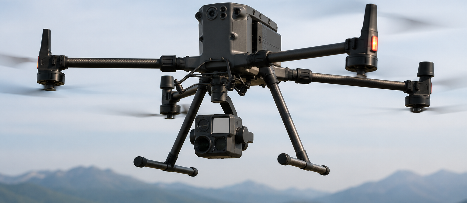
Professional Operation
Drone Mapping
Orthomosaic mapping, DEM/DTM, 3D modelling and GIS integration for land and asset management.
Overview
About This Operation
Bridge drone capture and modern GIS platforms. Convert raw imagery into orthomosaics, DEM/DTM and 3D models, then integrate them into ArcGIS / QGIS workflows.
Who This Is For
GIS analysts, planners, environmental and land professionals.
Operation
Drone Mapping
Category
Drone Operations
Certification
Drone Mapping Certificate
Prerequisites
Basic drone flight.
Mapping Workflow
How We Work
1
Mapping mission design
2
Orthomosaic & DEM/DTM generation
3
3D modelling workflows
4
QGIS / ArcGIS integration
5
Automating recurring mapping projects
Output
What We Deliver
- Build production-grade mapping pipelines
- Integrate UAV outputs into enterprise GIS
- Deliver value-added geospatial products
- Support land-use, planning & asset projects
Other Operations
Ready to commission a project?
Talk to our operations team and we'll scope your project from the ground up.